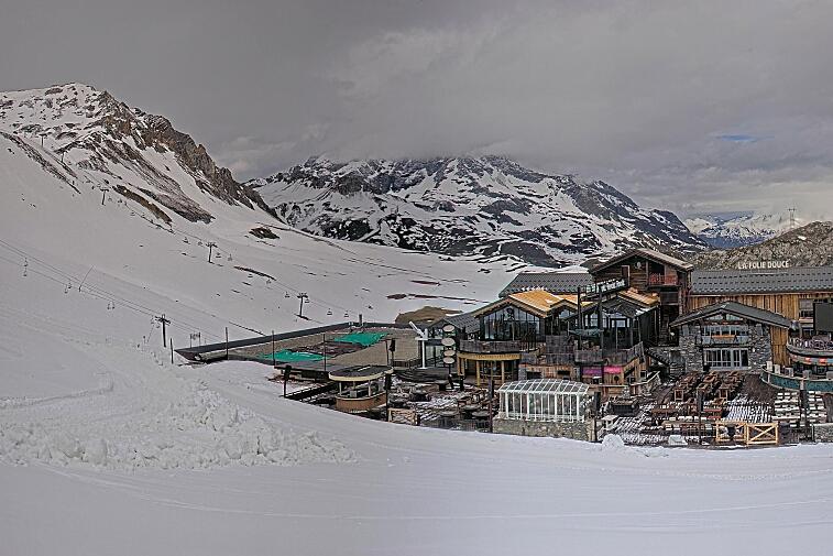
Well we’ve had a huge dump of snow in the last few days here in Val d'Isere which has improved the piste quality and made for some great powder skiing. Over 70cm of snow fell in 48 hours, there’s a little more to come and then we’re expecting sunshine too.
What’s happening now
Today and tomorrow it will remain cloudy with light snow forecast for Friday into Saturday morning and freezing temperatures staying down at around 1,100m. The winds will be very light.
What’s coming up
A high-pressure system is likely to pass over the Northern Alps, bringing predominantly clear skies and milder temperatures from Sunday. Looks like great sunshine skiing days for the early part of next week. The freezing level in Val d'Isere will rise during the day to around 2,400m and will drop to around 1,350m at night. These conditions may lead to a freeze-thaw cycle, especially on south-facing slopes.
The earliest sign of any precipitation next week is looking like Thursday and Friday, but hard to predict this far out.
Avalanche risk in Val d'Isere
The recent heavy snowfall, combined with changing temperatures has elevated the avalanche risk. The current risk is marked as at 3 out of 5 which is considerable over around 1,800m. There has been an increase in avalanche activity up high in the last few days. This is likely due to the huge amount of snow that fell quickly on existing layers, some of which could be weak layers. Extreme caution is advised and as always, if you plan to venture off-piste, ensure you have the proper equipment, up to date weather information and advice from the resort, and guidance.