What a mixed weather week we’ve had here in Val d'Isere. Snow, sunshine, clouds and wind! We did get the snow we were expecting over the weekend and we had light snow on Monday too, all of which is helping to keep our pistes skiing well. We are into spring skiing here now although the nights are mainly still getting below 0°C.
Mixed forecast
The forecast for the next few days is also quite mixed again. Thursday we’ve got sunshine and milder temperatures and on Friday we can expect snow showers over around 2000 metres. Saturday remains cooler and we could see snow showers in the morning followed by sunshine and Sunday is looking cloudy but milder. Currently the forecast for Monday is light to moderate snow over around 2500 - 2700 metres during the day which means rain below that level. The temperatures remain steady and are rising with the freezing level at around 2500 - 2700 by Monday. Tuesday looks like being a clear sunny day to enjoy the new snow at higher altitude.
The current milder weather is due to an occluded front coming through, following on from the last cold front. It does look like a new cold front is on its way after the weekend but that could pass through to the south of the Alps.
Avalanche risk
For most of the northern Alps the avalanche level is at 3 out of 5 with the most unstable slopes being the shady and north, north west and north east facing slopes over about 2200 metres. The slopes below 2000-2200 metres that have been affected by rain and higher temperatures are now much more stable as the snow has melted and then refrozen.
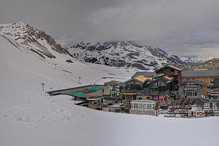
This weeks video below - off piste in Val Thorens and the cool photo above is from Emilie on Instagram